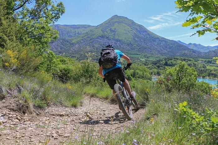
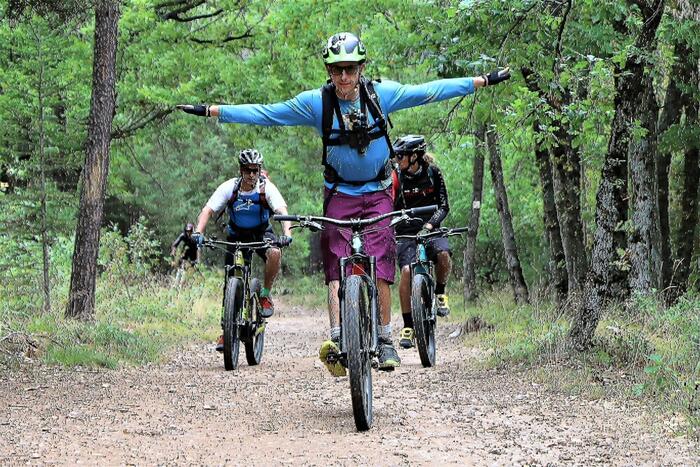
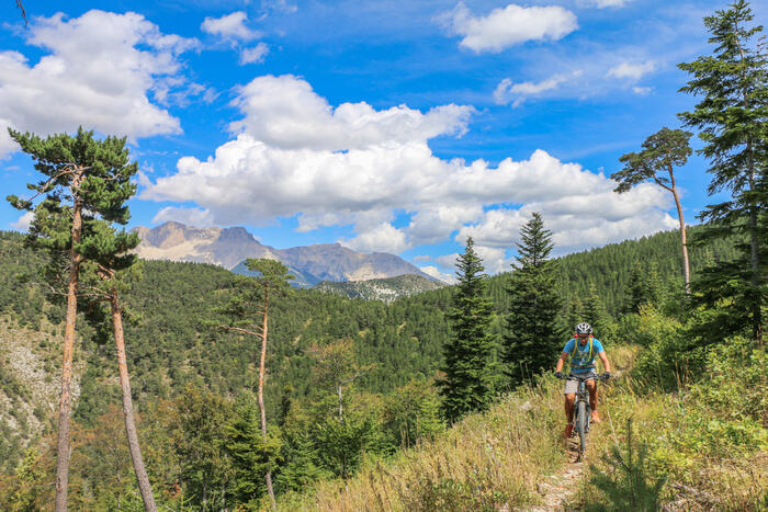
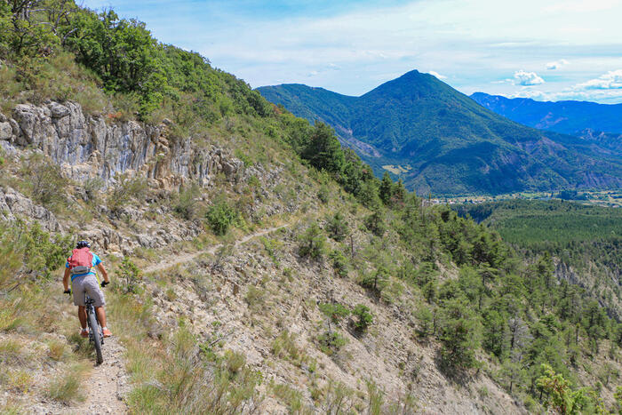
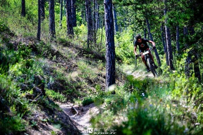
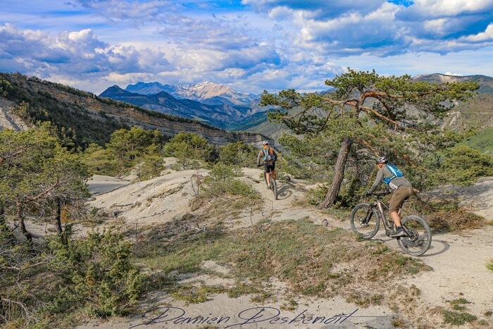
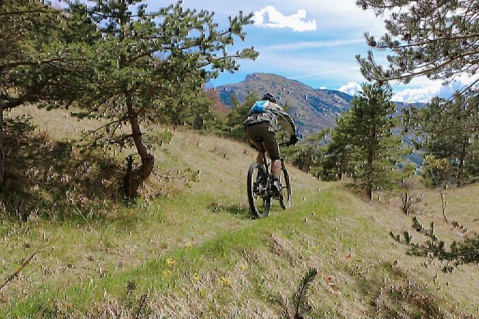
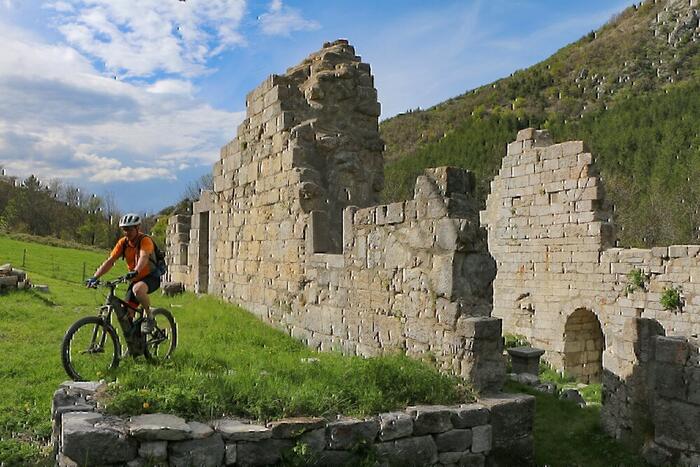
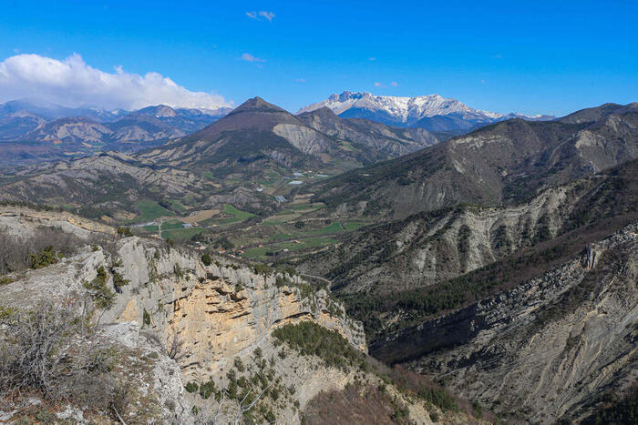
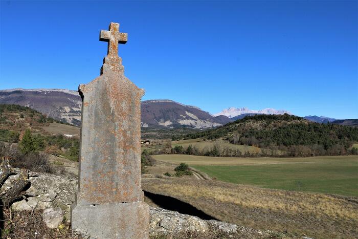
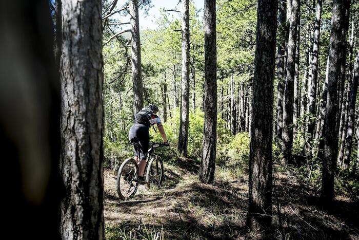
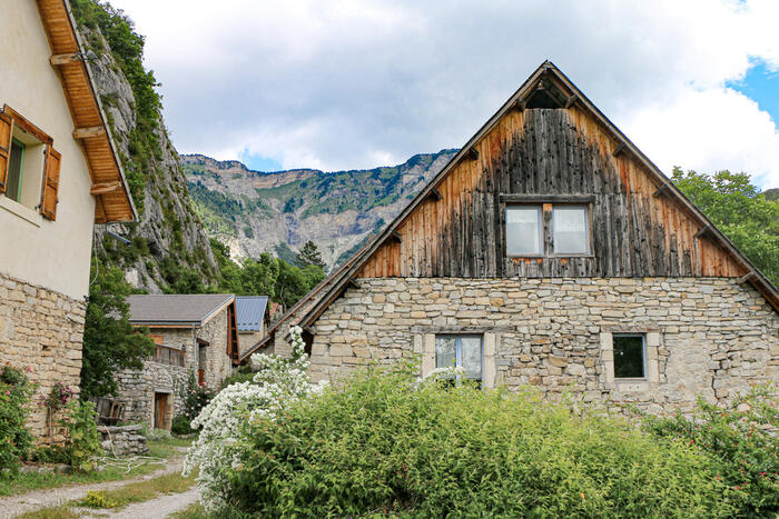
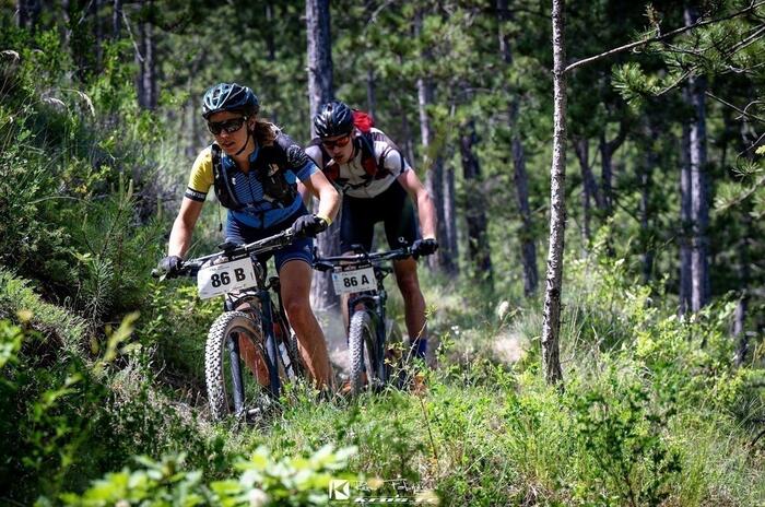
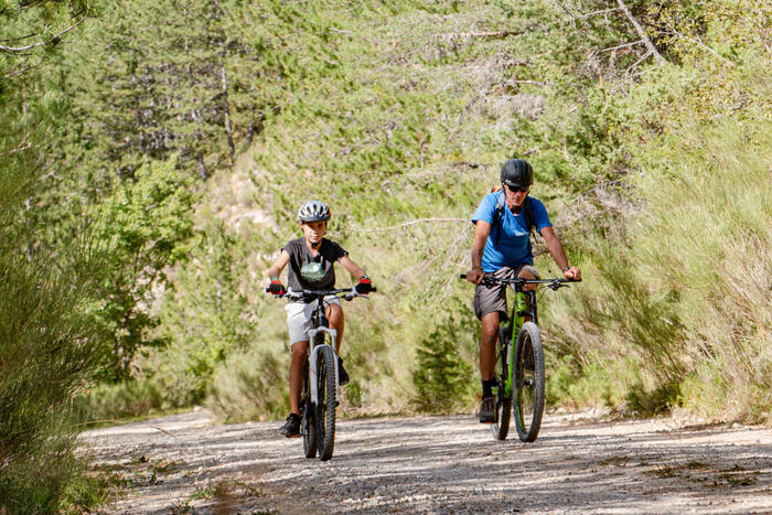
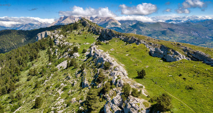
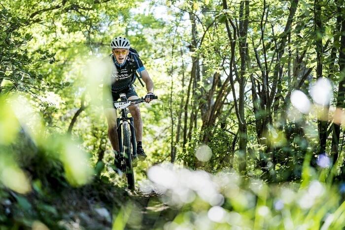
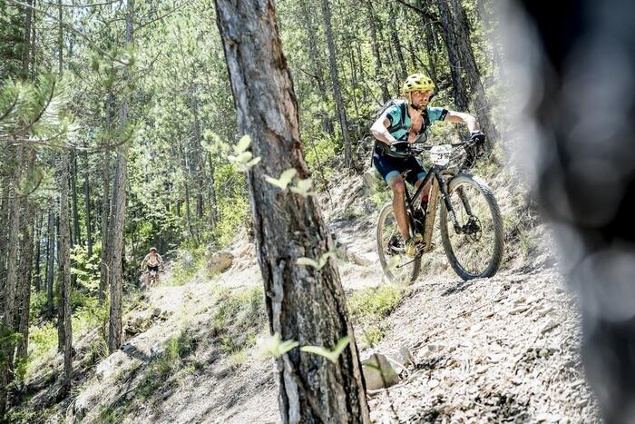
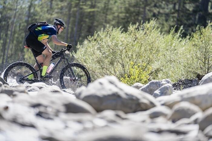
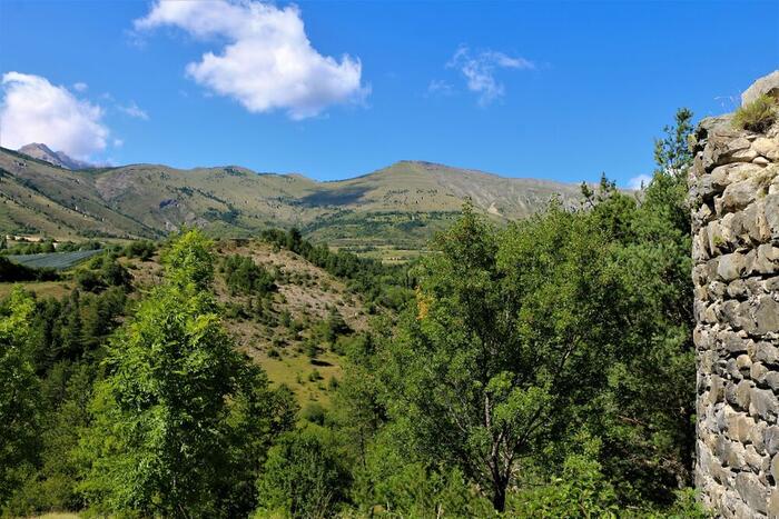
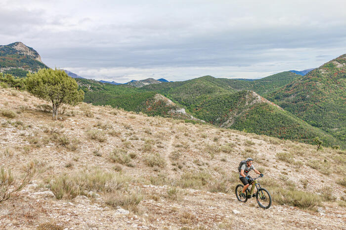
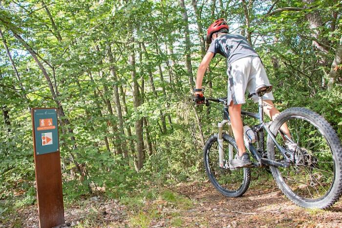
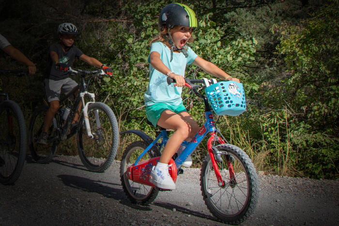
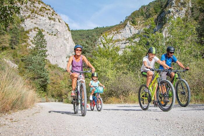
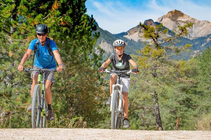
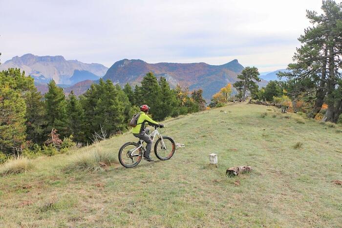
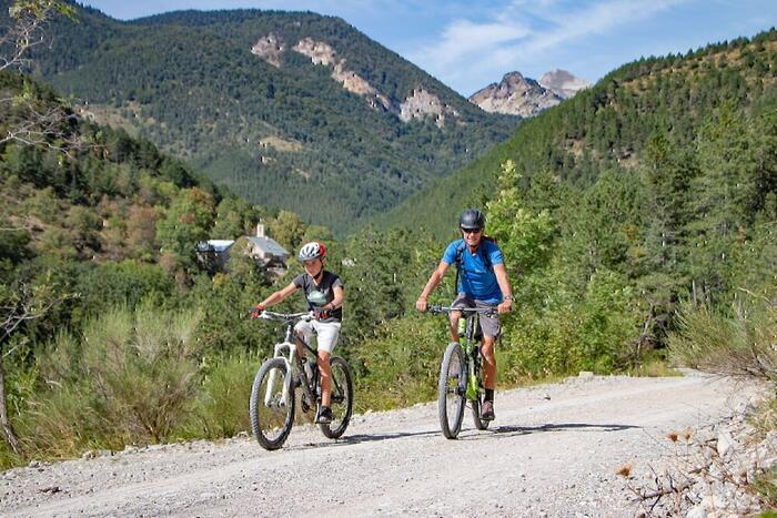
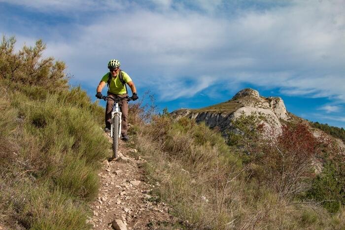
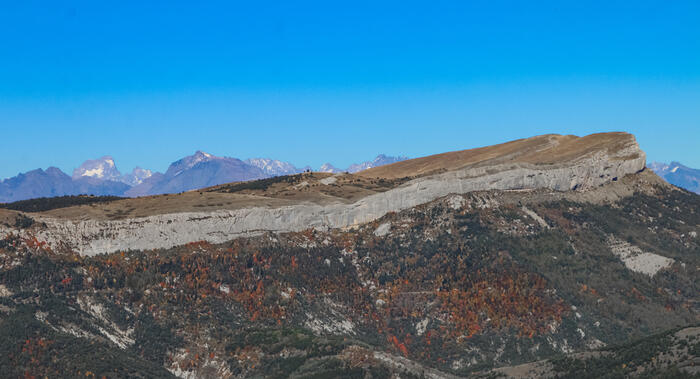
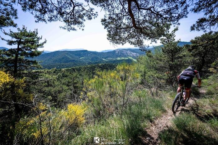
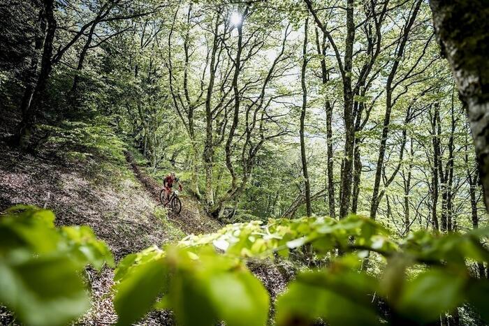
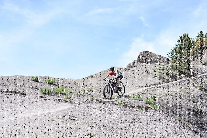
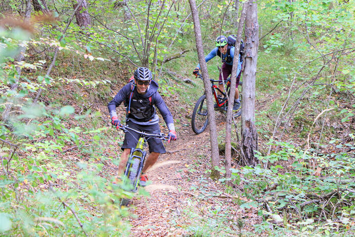
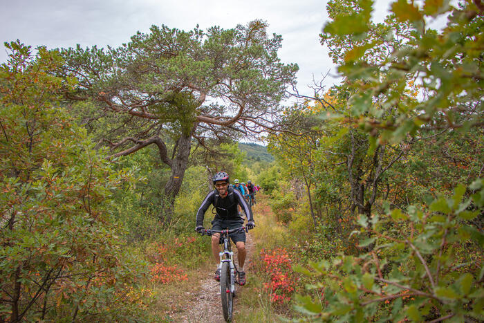
Riding

Téléchargez la carte des parcours des Sources du Buëch et du Dévoluy et retrouvez nos cartes détaillées à l'Office de tourisme Le Dévoluy et l'Office de tourisme Sources du Buëch en vente à 2€ !
Carte VTT Buëch-Dévoluy.pdf

- Nos circuits :
N°25 (Rouge) - Les Eygaux
Veynes
A series of fun singletracks starting from the lake!
Start: Lake parking
Distance: 14 km
Difference in altitude: 420 D+ Difficulty
Difficulty: Red mountain bike / Red electric mountain bike
N°24 (Bleu) - Aiguebelle
Veynes
Varied tour starting from the lake between forest and Buëch river without any technical difficulty.
Start: Lake parking
Distance: 17 km
Difference in altitude: 330 D+ Difficulty
Difficulty: Blue mountain bike / Green electric mountain bike
N°23 (Noir) - Pierrefeu et Cuberselle
Veynes
Chains of technical and typical trails of Veynois. Please note that some balcony passages are exposed.
Start: Tourist Office
Distance: 26 km
Difference in altitude: 765 D+ Difficulty
Difficulty: Black mountain bike / Black electric mountain bike
N°22 (Noir) - Cuberselle
Veynes
A very beautiful loop with a descent on a major trail in the area. Be careful with some very exposed passages.
Start: Tourist Office
Distance: 12 km
Difference in altitude: 530 D+ Difficulty
Difficulty: Black mountain bike / Black electric mountain bike
N°21 (Rouge) - Pierrefeu et Châteauvieux
Veynes
A climb on wide path to the Col de Pierrefeu and a descent entirely on technical singletrack.
Start: Tourist Office
Distance: 20 km
Difference in altitude: 630 D+ Difficulty
Difficulty: Red mountain bike / Red electric mountain bike
N°29 (Noir) - Tour d'Aujour
Le Saix
One of the most beautiful tour in Buëch with climbs on wide path and superb varied descents on technical trails.
Start: bar restaurant parking
Distance: 27 km
Difference in altitude: 1270 D+ Difficulty
Difficulty: Black mountain bike / Red electric mountain bike
N°28 (Noir) - Col de Villauret
Le Saix
A technical climb on track and a technical descent reserved for experienced mountain bikers.
Start: bar restaurant parking
Distance: 14 km
Difference in altitude: 550 D+ Difficulty
Difficulty: Black mountain bike / Black electric mountain bike
N°27 (Rouge) - La boucle de Clausonne
Le Saix
A classic of the sector combining heritage and fun and panoramic trails.
Start: bar restaurant parking
Distance: 14 km
Difference in altitude: 610 D+ Difficulty
Difficulty: Red mountain bike / Red electric mountain bike
N°26 (Bleu) - L'Abbaye par les pistes
Le Saix
Easy loop with magnificent views of the Val d'Oze.
Passage by Clausonne Abbey and the Gouravour parade.
Start: bar restaurant parking
Distance: 11 km
Difference in altitude: 410 D+ Difficulty
Difficulty: Blue mountain bike / Green electric mountain bike
N°18 (Rouge) - Tour du bas Chauranne
Saint-Pierre-d'Argençon
Start: parking village
Distance: 17 km
Difference in altitude: 490 D+ Difficulty
Difficulty: Red mountain bike / Red electric mountain bike
N°12 (Noir) - Un de Baumugne et le Pendu
Saint-Julien-en-Beauchêne
A loop that links the area's beautiful single-track descents with junctions on rolling trails.
Start: Salle polyvalente
Distance: 21 km
Difference in altitude: 940 D+ Difficulty
Difficulty: Black mountain bike / Red electric mountain bike
N°11 (Rouge) - Un de Baumugne
Saint-Julien-en-Beauchêne
Loop to discover the charming hamlet of Baumugne. A playful descent along a narrow path from the Col de la Bécha!
Start: Salle polyvalente
Distance: 7 km
Difference in altitude: 320 D+ Difficulty
Difficulty: Red mountain bike / Blue electric mountain bike
N°10 (Rouge) - L'Aupet
Saint-Julien-en-Beauchêne
A varied circuit of forest tracks and technical trails to discover the majestic Durbon forest and its Chartreuse.
Start: Salle polyvalente
Distance: 12 km
Difference in altitude: 470 D+ Difficulty
Difficulty: Red mountain bike / Red electric mountain bike
N°9 (Bleu) - La Chartreuse de Durbon
Saint-Julien-en-Beauchêne
An easy loop in the heart of the majestic Durbon forest, you'll discover the remains of the ancient Chartreuse.
Start: Salle polyvalente
Distance: 11 km
Ascent: 390 D+ Difficulty
Difficulty: Blue mountain bike / Blue electric mountain bike
N°40 (Noir) - Grand tour de Céüse
La Roche-des-Arnauds
A Gapençais classic acclaimed by Stéphane Tempier who often trains here! A must do for those who have the level!
Start: school Parking
Distance: 37 km
Difference in altitude: 1084 D+ Difficulty
Difficulty: Black mountain bike / Black electric mountain bike
N°39 (Rouge) - Ravin de la Mèque
La Roche-des-Arnauds
An ascent on a double track through the Matacharre forest and a rapid descent on a beautiful trail !
Start: school Parking
Distance: 18 km
Difference in altitude: 670 D+ Difficulty
Difficulty: Red mountain bike / Red electric mountain bike
N°38 (Rouge) - Sentier du facteur
La Roche-des-Arnauds
A tour on technical trails. Be careful crossing the footbridge is tricky on electric mountain bike
Start: school Parking
Distance: 15 km
Difference in altitude: 450 D+ Difficulty
Difficulty: Red mountain bike / forbiden on electric mountain bike
N°37 (Rouge) - Les Baux
La Roche-des-Arnauds
Varied and fun tour with a descent on the banks of Petit Buëch.
Be careful getting off the bike on the footbridges!
Start: school Parking
Distance: 11 km
Difference in altitude: 273 D+ Difficulty
Difficulty: Red mountain bike / Blue electric mountain bike
N°36 (Bleu) - La Gerle
La Roche-des-Arnauds
Easy tour with an ascent on a little road, Descent on a beautiful panoramic double track and a finish on an easy trail!
Start: school Parking
Distance: 8 km
Difference in altitude: 235 D+ Difficulty
Difficulty: Blue mountain bike / Blue electric mountain bike
N°35 (Bleu) - Le canal et le château
La Roche-des-Arnauds
Easy tour to discover the Corréo plateau and the Manteyer plain.
Start: school Parking
Distance: 16 km
Difference in altitude: 300 D+ Difficulty
Difficulty: Blue mountain bike / Green electric mountain bike
N°34 (Bleu) - Tour du Trésaubenq
Montmaur
A small tour without much difficulty in a grandiose setting at the foot of the Bure massif with a finish on a beautiful, fun single track!
Start: Parking Sauvas
Distance: 10 km
Difference in altitude: 270 D+ Difficulty
Difficulty: Blue mountain bike / Blue electric mountain bike
N°33 (Rouge) - Les Sauvas
Montmaur
An ascent on the road to the picturesque village of la Montagne then a beautiful descent on the single track passing through Les Sauvas.
Start: Parking in front of the Town Hall
Distance: 17 km
Difference in altitude: 600 D+ Difficulty
Difficulty: Red mountain bike / Red electric mountain bike
N°32 (Vert) - Chapelle Sainte-Philomène
Montmaur
Short tour of the Montmaur plain accessible to all on large tracks and small roads. Magnificent views of the Bure massif!
Start: Parking in front of the Town Hall
Distance: 5 km
Difference in altitude: 50 D+ Difficulty
Difficulty: Green mountain bike / Green electric mountain bike
N°41 (Noir) - Tour de Céüse au plus près
Manteyer
An ascent on the road then on a trail and a magnificent and endless descent entirely on single-track!
Start: City hall Parking
Distance: 28 km
Difference in altitude: 1028 D+ Difficulty
Difficulty: Black mountain bike / Red electric mountain bike
N°15 (Rouge) - La Rouye
La Faurie
You reach the village of Agnielles via a superb balcony single-track which overlooks the gorges! Be careful when returning along the D1075 road.
Start: Town Hall parking lot
Distance: 19 km
Difference in altitude: 620 D+ Difficulty
Difficulty: Red mountain bike / Red electric mountain bike
N°14 (Rouge) - Pont la Dame
La Faurie
A series of very beautiful descents on playful single-tracks! Be careful when returning along the D1075.
Start: Town Hall parking lot
Distance: 14 km
Difference in altitude: 410 D+ Difficulty
Difficulty: Red mountain bike / Blue electric mountain bike
N°13 (Vert) - Le canal
La Faurie
A very easy walk along the Saint André canal for families and toddlers.
Start: Town Hall parking lot
Distance: 4 km
Difference in altitude: 30 D+ Difficulty
Difficulty: Green mountain bike / Green electric mountain bike
N°1 (Bleu) - Les Agniellards
La Faurie
A family-friendly trail to discover the Agnielles gorge and its abandoned village.
Start: Parking des gorges d'Agnielles
Distance: 10 km
Difference in altitude: 320 D+ Difficulty
Difficulty: Blue mountain bike / Green electric mountain bike
N°2 (Rouge) - Le col de l'Angélus
La Faurie
A fun trail in the heart of the Agnielles gorges, with trails that are never very difficult.
Start: Parking des gorges d'Agnielles
Distance: 11 km
Difference in altitude: 410 D+ Difficulty
Difficulty: Red for muscular mountain biking / Blue for electric mountain biking
N°3 (Noir) - Les balcons de Durbonas
La Faurie
A magnificent, wild and demanding route through forests, alpine meadows and balconies.
Great single-track descents!
Start: Parking des gorges d'Agnielles
Distance: 30 km
Difference in altitude: 1330 m
Difficulty: Black mountain bike / Black electric mountain bike
N°4 (Rouge) - A travers la forêt de Durbon
La Faurie
Immerse yourself in the majestic Durbon forest.
The route presents no technical difficulties.
Start: Parking des gorges d'Agnielles
Distance: 25 km
Difference in altitude: 890 m
Difficulty: Red for muscular mountain biking / Blue for electric mountain biking
N°31 (Noir) - La petite Céüse
Châteauneuf-d'Oze
Superb tour with grandiose landscapes and wild trails made for mountain biking.
Start: Parking - Crossroads between the road D20 : D20a
Distance: 25 km
Difference in altitude: 910 D+ Difficulty
Difficulty: Black mountain bike / Red electric mountain bike
N°30 (Rouge) - Col des Guérins par les pistes
Châteauneuf-d'Oze
Tour entirely on wide path with beautiful views of the Céüse cliff.
No technical difficulties.
Start: Parking - Crossroads between the road D20 : D20a
Distance: 25 km
Difference in altitude: 760 D+ Difficulty
Difficulty: Red mountain bike / Blue electric mountain bike
N°17 (Noir) - Bane et le col du Monument
La Beaume
Beautiful tour of "Haut Val Chauranne" departing from La Beaume with climbs on easy track and beautiful descents on single-track !
Start: parking village
Distance: 22 km
Difference in altitude: 905 D+ Difficulty
Difficulty: Black mountain bike / Red electric mountain bike
N°16 (Rouge) - Fontaine de Bane
La Beaume
After a steady climb on an easy track, the descent is superb on a small path through the Bane beech forest !
Start: parking village
Distance: 18 km
Difference in altitude: 570 D+ Difficulty
Difficulty: Red mountain bike / Red electric mountain bike
N°7 (Rouge) - Le Col de Seille et ses marnes
Aspres-sur-Buëch
A great classic of the sector, with a demanding ascent and a magnificent descent!
Start: Aspres-sur-Buëch tourist office
Distance: 14 km
Difference in altitude: 420 D+ Difficulty
Difficulty: Red mountain bike / Red electric mountain bike
N°6 (Rouge) - Les Praux, le Pignon et le Chevalet
Aspres-sur-Buëch
A beautiful, varied and undulating route with many sections on small paths.
Start: Aspres-sur-Buëch tourist office
Distance: 22 km
Difference in altitude: 400 D+ Difficulty
Difficulty: Red for muscular mountain biking / Blue for electric mountain biking
N°5 (Vert) - La digue du grand Buëch
Aspres-sur-Buëch
Easy, flat loop on beautiful trails.
On hot days, you can cool off in the Buëch.
Start: Tourist office parking lot Aspres-sur-Buëch
Distance: 8 km
Difference in altitude: 40 D+ Difficulty
Difficulty: Green mountain bike / Green electric mountain bike
N°8 (Noir) - La Longeagne et Marjaries
Aspres-sur-Buëch
A panoramic ridge section and a grand finale with one of the most beautiful descents in the area.
Start: Aspres-sur-Buëch tourist office
Distance: 23 km
Difference in altitude: 830 m
Difficulty: Black mountain bike / Red electric mountain bike
N°20 (Rouge) - Boucle de Thuoux
Aspremont
Easy tour with a descent on a beautiful single track to reach the village of Thuoux.
Start: parking village
Distance: 9 km
Difference in altitude: 250 D+ Difficulty
Difficulty: Red mountain bike / Blue electric mountain bike
N°19 (Bleu) - Chapelle Notre Dame de Suane
Aspremont
Easy tour on small roads and rural paths to discover Thuoux!
Start: parking village
Distance: 8 km
Difference in altitude: 180 D+ Difficulty
Difficulty: Blue mountain bike / Green electric mountain bike