
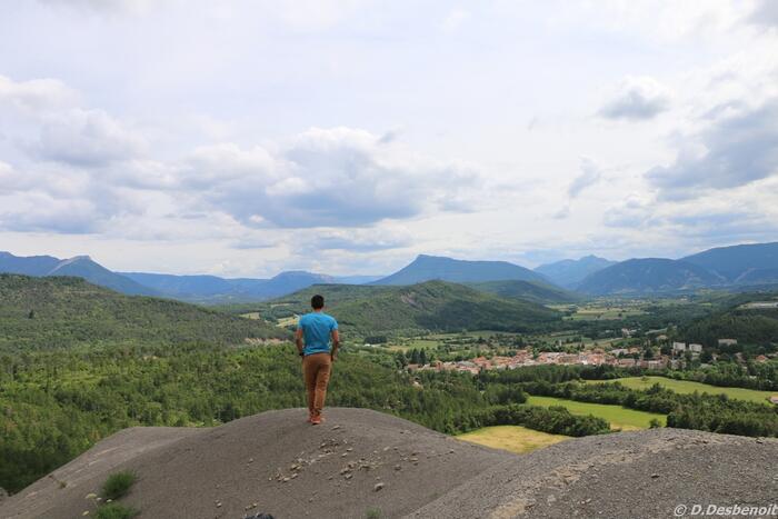
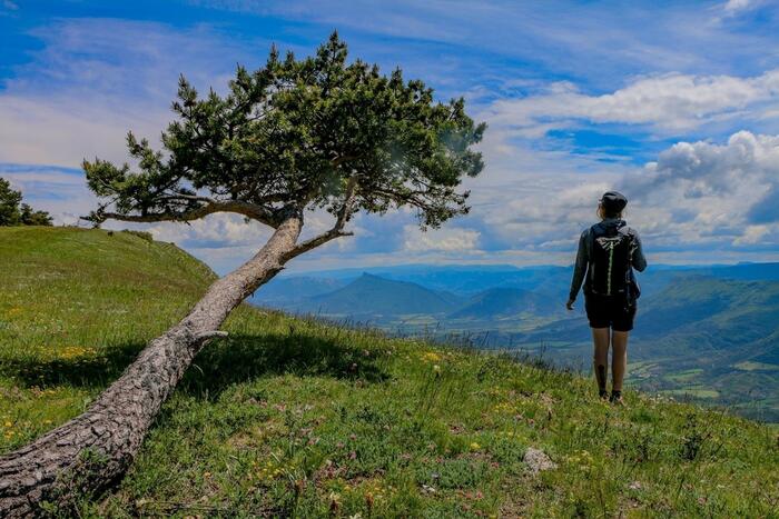
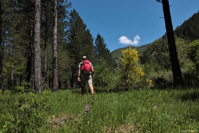
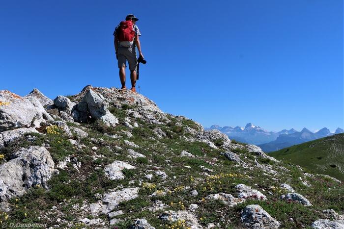
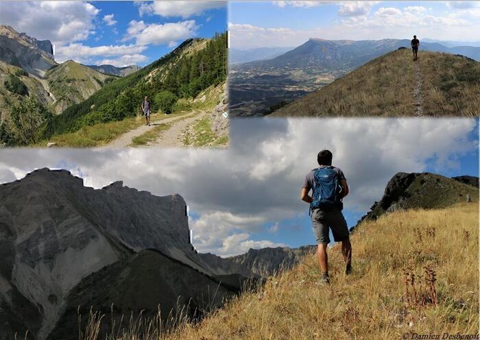
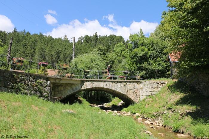
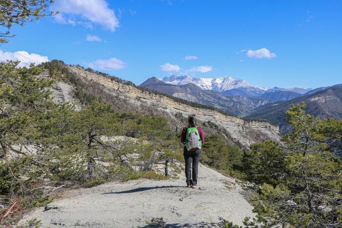
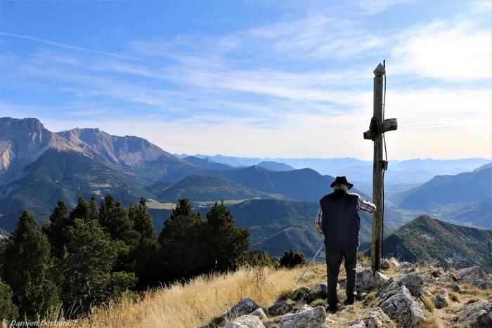
Hiking in freedom
Ideas for a ride
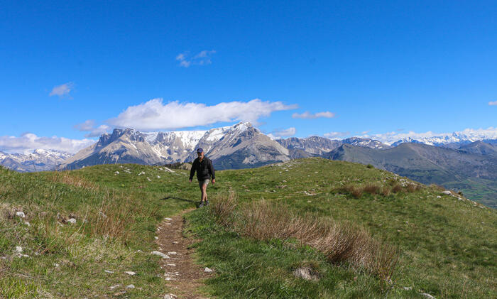
Our itineraries offer a wide range of walks, from the small family outing to the athletic hike.
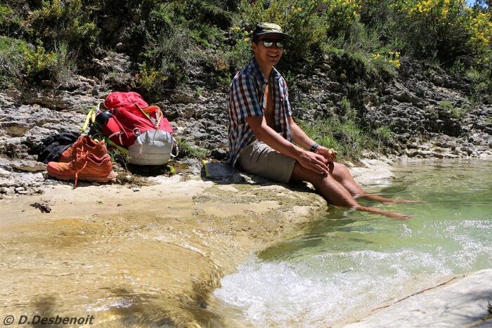
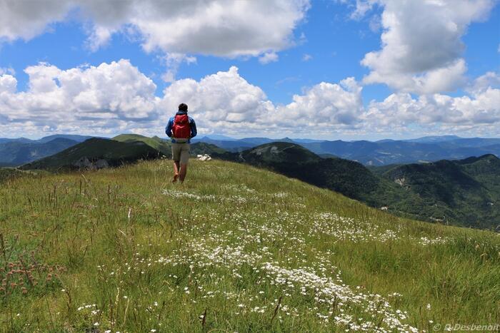
Reach the water to cool down, smell the wild lavender on the ridge of Luzet or in the alpine pastures of the Col de Gleize, here the mountain has many facets.
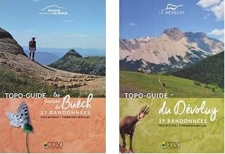

Retouvez les TOPO-GUIDE RANDONNEES pédestres "les Sources du Buëch" et celui "du Dévoluy" dans nos offices de tourisme et sur notre boutique en ligne.

Retouvez les TOPO-GUIDE RANDONNEES pédestres "les Sources du Buëch" et celui "du Dévoluy" dans nos offices de tourisme et sur notre boutique en ligne.

Les randonnées des Sources du Buëch
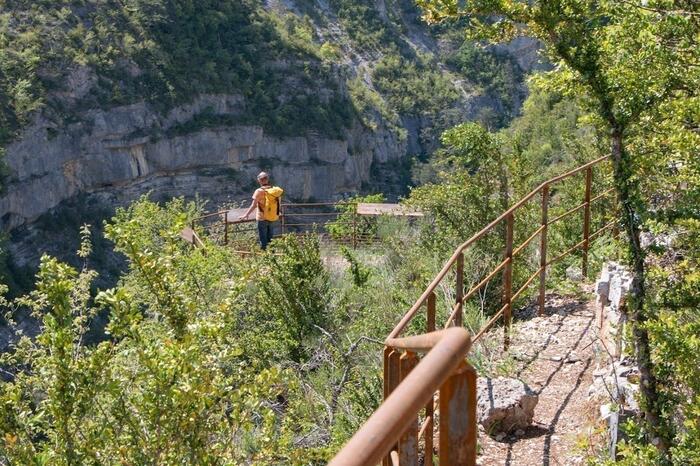
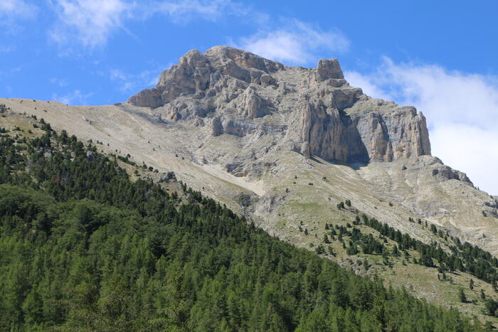
"Sentier des falaises" des Gorges d'Agnielles
La Faurie
Located in the Agnielles Gorge, a remarkable natural site, the cliff path winds its way along panoramic ledges accessed by staircases over rocky bars, offering magnificent views from two belvederes.
N°1 (vert) - Circuit de Thuoux
Aspremont
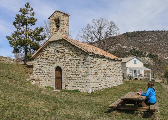
This easy hike around the hamlet of Thuoux is an opportunity to discover the Notre Dame de Suane chapel.
Start: Car park at Notre Dame de Suane chapel, Thuoux
Distance: 5 km
D+: 190 m
Difficulty: Very easy
N°2 (vert) - Les bords du Buëch
Aspres-sur-Buëch
It's an easy and pleasant walk in summer!
Along the way, the Buëch is within easy reach for a refreshing break!
Departure point: Car park in front of the Tourist Office in Aspres-sur-Buëch.
Distance: 8 km
D+: 50 m
Difficulty: Very easy
N°3 (bleu) - Le Col de Seille
Aspres-sur-Buëch
The passage through the marl on the descent to the Col de Seille offers an imposing panorama of the Buëch valley and the peaks of the Val d'Oze.
Start: Car park in front of Aspres-sur-Buëch tourist office
Distance: 12.2 km
D+: 410 m
Difficulty: Easy
N°4 (rouge) - La boucle de Saint-Apôtre
Aspres-sur-Buëch
A challenging hike in one of the Haut Buëch's most beautiful panoramas! Magnificent views of Dévoluy and Vercors in the distance!
Start: Car park in front of the tourist office in Aspres-sur-Buëch
Distance: 10 km
D+: 720 m
Difficulty: Difficult
N°5 (vert) - Les Agniellards
Aspres-sur-Buëch
A small, easy-access loop, ideal for families and mostly shaded.
Start: Car park 500 m before the village of Agnielles
Distance: 3.4 km
D+: 150 m
Difficulty: Very easy
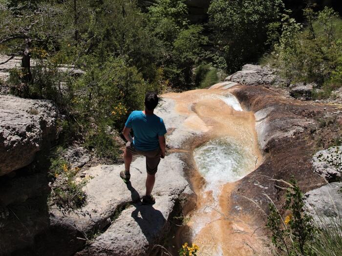
N°8 (rouge) - Cascade de la Beaume
La Beaume
A wild and varied hike to discover the village of La Beaume and its surroundings.
Departure point: Village de la Beaume - parking lot at the motorhome park
Distance: 8 km
D+: 500 m
Difficulty: Difficult
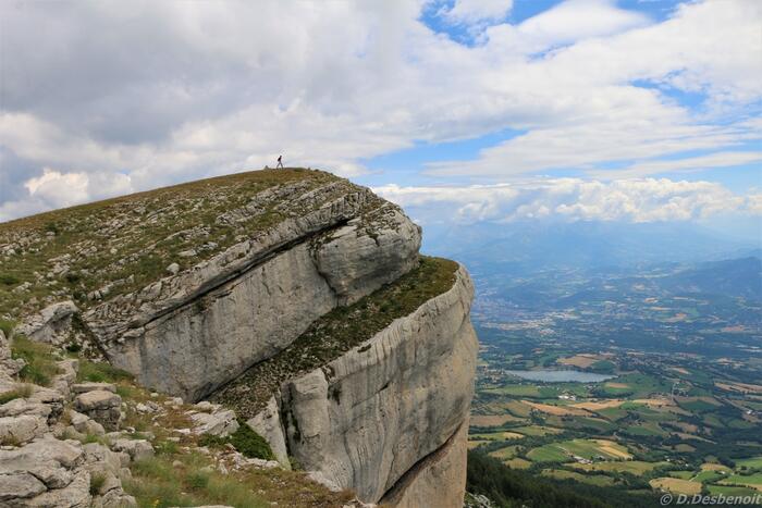
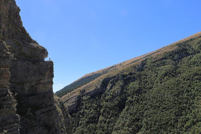
N°26 (rouge) - La corniche de Céüse
Châteauneuf-d'Oze
Céüse, a perched syncline offering splendid views of the Baronnies, Diois, Écrins and Ubaye.
Departure point: Châtillon le désert parking lot.
Distance: 18 km
D+: 780 m
Difficulty: Difficult
N°10 (noir) - Les marmites du Diable
La Faurie
A short but highly technical hike in a spectacular setting!
Start : Car park
Distance: 6 km
D+: 320 m
Difficulty: Very difficult
Terrain: Very technical, slippery slabs, steep slopes, high steps.
Not recommended in wet weather.
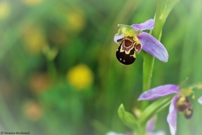
N°27 (rouge/bleu) - Le sentier botanique
Furmeyer
A beautiful botanical hike through a wide variety of environments, Mediterranean in the lower part and alpine on the Faï ubac.
Departure point: Parking du pont du Drouzet.
Distance: 10 km
D+: 500 m
Difficulty: Difficult
N°6 (bleu) - La montagne d'Aureille
La Haute-Beaume
This hike on the heights of Haute Beaume, the smallest village in the department, will take you up the mountain of Aureille...
Start: Col de la Haute Beaume
Distance: 5.5 km
D+: 205 m
Difficulty: Easy
N°7 (bleu) - Le Luzet
La Haute-Beaume
This round trip from the Col de la Haute Baume will take you on a journey through mountain forests and high-altitude meadows.
Start: Col de la Haute Baume
Distance: 8.2 km
D+: 500 m
Difficulty: Easy
N°25 (bleu) - La Manche
Manteyer
A panoramic hike with fabulous views of the Écrins, Dévoluy, Baronnies Provençales and Mont Ventoux!
Start: Céüze resort parking lot
Distance: 7 km
D+: 300 m
Difficulty: Easy
N°9 (vert) - Les rives de l'Aiguebelle
Montbrand
An easy, shady walk along the banks of the Aiguebelle, pleasant in hot weather.
Start: roadside parking lot 500m downstream from Ruynet.
Distance: 3.5 km
D+: 60 m
Difficulty: Very easy
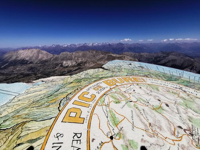
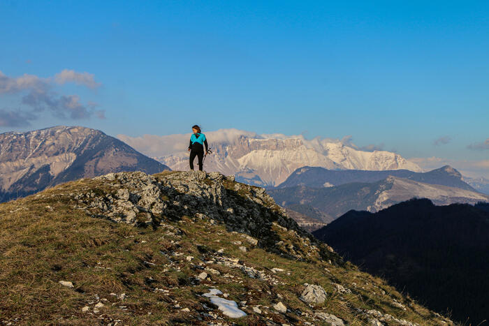
N°18 (noir) -Pic de Bure
Montmaur
This hike is designed for those who enjoy a sporting challenge, with an ascent of the emblematic Pic de Bure at 2709 meters.
Start: Parking des Sauvas
Distance: 12.9 km
D+: 1360 m
Difficulty: Very difficult
N°17 (vert) - Circuit du Pic et du Chamois
Montmaur
A short discovery loop through the Sauvas state forest beneath the imposing south face of the Plateau de Bure and its immense scree.
Start: Parking des Sauvas
Distance: 3 km
D+: 218 m
Difficulty: Very easy
N°16 (rouge/vert) - Le sentier des Bancs
Rabou
The trail winds its way through lavender fields, with a view of the famous eastern pillar of the Pic de Bure! Passage des Bancs will undoubtedly be a highlight of this excursion.
Start: Parking de Rabou
Distance: 10 km
D+: 654 m
Difficulty: Difficult
Office de Tourisme du Veynois
La Roche-des-Arnauds
A very varied hike with many viewpoints!
The panoramic Clape ridge offers views of the Pic de Bure and the Baronnies hills...
Departure point: Maison forestière de Matacharre
Distance: 12 km
D+: 750 m
Difficulty: Difficult
N°13 (vert) - Circuit de la Gerle
La Roche-des-Arnauds
Small family loop on the heights of La Roche des Arnauds. Waterfalls, panoramic paths and the remains of a castle!
Start: "La boule" school parking lot
Distance: 4 km
D+: 180 m
Difficulty: Very easy
N°14 (bleu) - Circuit de la Distillerie
La Roche-des-Arnauds
An easy circuit with beautiful views!
Start: "La boule" school parking lot
Distance: 9 km
D+: 239 m
Difficulty: Easy
N°11 (rouge) - Le Quigouret
Saint-Julien-en-Beauchêne
A sporting looping route on the borders of the Hautes-Alpes and Drôme departments, starting from the renovated hamlet of Vaunières.
Start: Car park at the intersection of a track 600m downstream from the hamlet of Vaunières.
Distance: 8.6 km
D+: 700 m
Difficulty: Difficult
N°12 (rouge/bleu) - Balade des chartreux
Saint-Julien-en-Beauchêne
Follow in the footsteps of the monks of the Durbon valley by visiting the remains of the former Carthusian monastery.
Departure point : Car park above the old Carthusian monastery
(ONF barrier open from 04/30 to 09/15)
Distance: 11.5 km
D+: 536 m
Difficulty: Easy
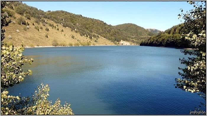
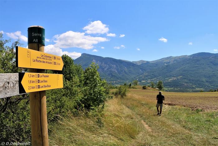
Le lac et le plateau de Peyssier
Le Saix
An easy family walk, ideal for strolling and picnicking by the water at the foot of Montagne d'Aujour.
Start: Le Saix, in the village center (restaurant le 69)
Distance: 14 km
D+: 480 m
Difficulty: Easy
N°24 (bleu) - Boucle de Clausonne
Le Saix
A magnificent loop starting from the picturesque village of Le Saix!
Discover the Gouravour gorges, visit the Clausonne Abbey, the Faï horns...
Departure point: Car park at the footbridge.
Distance: 10 km
D+: 500 m
Difficulty: Easy
N°20 (bleu) - Col de Pierrefeu
Veynes
Passages along the crest of the cime de Pignerole offer beautiful views of the Dévoluy, Buëch and Ecrins peaks.
Start: Hameau de Glaise at the parking lot and "randonnée" sign.
Distance: 8.3 km
D+: 440 m
Difficulty: Easy
N°21 (bleu) - Col de Cuberselle
Veynes
Veynes has a few well-hidden secrets! Here's one of them,
this magnificent loop of Mediterranean vegetation...
Start: Swimming pool parking lot
Distance: 8 km
D+: 500 m
Difficulty: Easy
N°19 (vert) - Eygau de Veyras -
Veynes
Start : Plan d'eau des Iscles
Distance: 6.5 km
D+: 189 m
Difficulty: Easy
N°22 (rouge) - Charajaille
Veynes
A slightly hidden summit in a secret valley just a stone's throw from Veynes!
Start: Village de Glaise at the parking lot and "randonnée" sign
Distance: 8.5 km
D+: 628 m
Difficulty: Difficult
N°23 (rouge) - La montagne d'Oule
Veynes
A challenging hike to discover the heights of Veyn. The reward at the summit is a panoramic view...
Start : Car park next to the tourist office
Distance: 9.2 km
D+: 800 m
Difficulty: Difficult
Les randonnées thématiques
Partez à l'aventure avec nos parcours jeux et découvrez les Sources du Buëch en vous amusant !
Sur Veynes, Zozime l'alchimiste vous attend pour résoudre le Mystère le l'Astrouille.
Au départ de Montmaur, plongez dans les aventures de Rocambole, héro des récits de Ponson du Terrail avec Le Passe-Temps.
Le sentier dominé par la montagne de Charajaille nous emmène à la rencontre de trois peuples de la forêt. Découvrez-les ainsi que modes de vie à travers des modules artistiques et ludiques, avec le Peuple des Arbres.
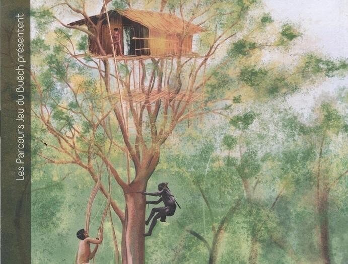
Les Parcours Jeu du Buëch - Peuples des arbres
Veynes
Welcome to the game trails of Buëch Dévoluy.
You're about to embark on a great adventure. To succeed, you must solve the riddles along the way.
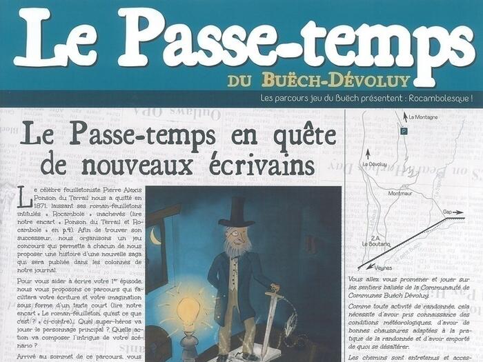
Les Parcours Jeu du Buëch - Le passe-temps
Montmaur
Welcome to the game trails of Buëch Dévoluy.
You're about to embark on a great adventure. To succeed, you must solve the riddles along the way.
"Sur les pas de Balthazar" Jeu - Aventure en famille
Montmaur
The Department is offering a new, self-guided range of games to enable families to play together, forge links and create shared memories, with the heritage site of the Château de Montmaur as the playground.
- Les chiens de protection et les randonneurs :

Chiens de protection et randonneurs
Comment se comporter face aux chiens de protection des troupeaux ?
Il vous arrivera peut-être de rencontrer en alpage d'imposants chiens blancs.
Ils sont les gardiens des troupeaux ovins.
Face à eux, ne paniquez pas !
>>> Découvrez les réflexes à adopter